Flood Alert in Portugal! Storm Leonardo is coming
About this Flood Alert in Portugal
After, Kristin another storm promises to shake Portugal. Thursday is the day Storm Leonardo arrives to continental Portugal. Although, effects can start to be felt on Wednesday, especially on the South and Central Portugal. So, from the 3rd of February to the 7th of February, Portugal will be receiving persistent rain, intense wind and coastal events (rough seas).
Which regions are gonna be affected by the flooding?
Most of Portugal will be somewhat affected by this stormy weather, but at different times. Wednesday (February 4th) and Thursday (February 5th) should be the worst days. The areas near rivers Mondego, Douro, Guadiana and Tejo should be in high alert in the upcoming days, even after February 5th (there will be more rain coming).
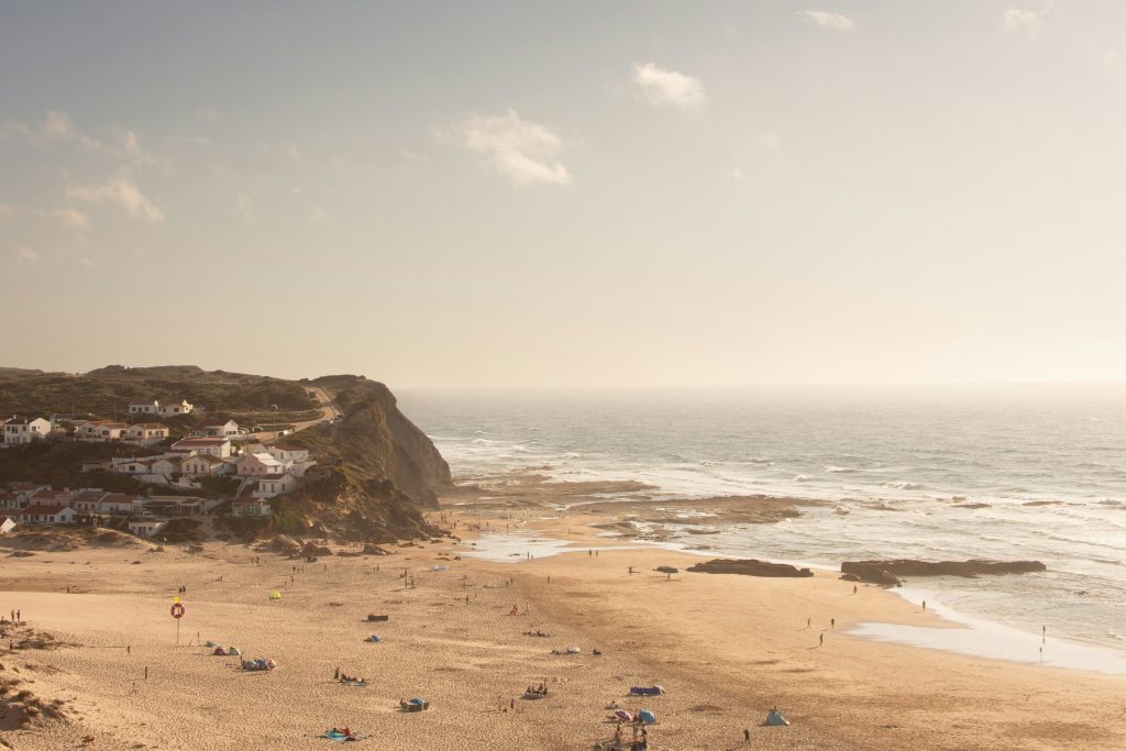
Any person living near rivers or in areas where floods are common, should take in consideration this flood alert in Portugal. Armed Forces with 30 boats are positioned in areas at severe risk of flooding, but you should take precautions of your own (see them in the last section).
Today (3rd of February 2026), the effect of this storm will start by the lower part of Alentejo (Setúbal and Beja districts) and Algarve (Faro district), with heavy rain (yellow warning). Lisbon, Santarém, Leiria, Castelo Branco, Coimbra and Portalegre also received a yellow warning for heavy and persistent rain on Wednesday night until 9AM (Thursday).
In terms of wind, values can reach around 75 km/h (47mph) for Lisbon, Leiria, Faro and Setúbal from today until 12PM tomorrow (February 4th). The wind can be even stronger on February 5th (Thursday) from 6Am to 3PM for the following districts: Viana do Castelo, Bragança, Braga, Porto, Guarda, Faro, Vila Real, Setúbal, Santarém, Évora, Lisboa, Leiria, Viseu, Beja, Castelo Branco, Aveiro, Coimbra, and Portalegre. For these districts, expect heavy rain after midnight and early in the morning (February 5th) (some may have heavy rain until around 3PM or even later 6PM).
Snow may also occur today (February 3rd) in some of these districts above 800/1000 meters of altitude.
With that said, the exact location of where this storm will hit with a bigger force keeps changing. Therefore, keep checking IPMA’s weather forecast and oficial alerts.
Will the archipelagos be affected by Storm Leonardo?
Yes!
Both Madeira and Azores will be affected with heavy rain, strong winds and coastal events (rough seas). Madeira and Azores will start feeling the effects on February 4th.
What to do when there is a Flood Alert in Portugal?
- If you are in areas where flooding may occur in the next few hours, take precautionary measures immediately.
- If you live in specially vulnerable areas, where floods are common occurrence, then seek shelter elsewhere, with friends or family.
- Take precautions and safeguard your belongings before the weather get’s critical.
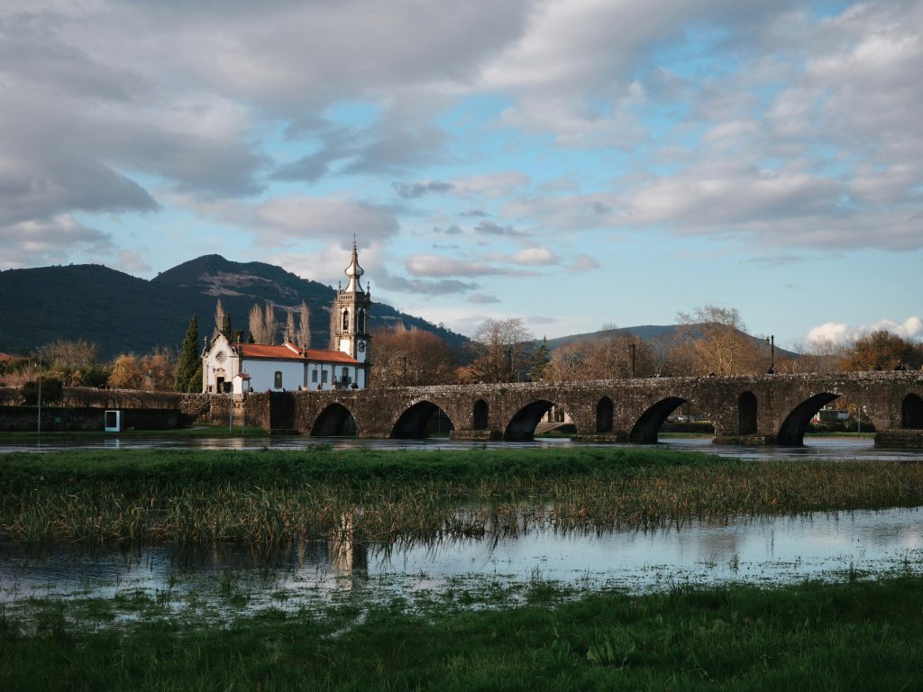
- Don’t leave your car near areas vulnerable to floods (e.g. next to rivers). Near the river in Ponte de Lima is just one example.
- Don’t try to pass through flooded areas on foot or by car (including tunnels) . You can get dragged away.
- If you’re on foot, get to higher grounds.
- Follow instructions from local authorities and civil protection services.
- Keep your phone charged and enable emergency alerts if available.
- Avoid unnecessary travel during periods of intense rainfall.
- Check on elderly neighbors or people with limited mobility, if it is safe to do so.
- If you have any animals, bring them indoors or move them to a safe, sheltered area, and make sure they have enough food and water. Do not leave animals tied or confined in locations that could flood.
Note: Due to the wind alerts, also avoid passing through bridges (if you really need to, reduce your car speed). Avoid coastal areas and paths near trees or unstable structures. Secure any loose objects on your balconies and terraces (they can become dangerous projectiles with the force of the wind).
Do you know what happened during Storm Kristin? See here.